Wildfires
Active fires and burned areas, with acres and containment.
Wildfires, earthquakes, storms, floods, heat, smoke and evacuation zones near your home, from official sources, in plain words.
Loading what's happening on Earth…
Data from USGS, NOAA and the National Weather Service, NIFC, Cal OES, EPA AirNow, NASA, GDACS, FEMA and others.
Your home gets one status, in words anyone understands. Color always means danger level, never decoration, and it is never the only clue.
A real-time 3D Earth with the official feeds layered on top, plus a timeline to replay the last day or look ahead at the forecast.
Active fires and burned areas, with acres and containment.
Every quake from USGS, sized by magnitude, with tsunami flags.
Hurricanes and typhoons with their forecast paths.
GDACS forecast tracksAlert levels and aviation codes for watched volcanoes.
National Weather Service alerts, including evacuation orders, shelter-in-place and civil emergencies sent through the federal alert system, plus California's county evacuation zone maps.
River gauges forecast to flood, from NOAA.
Wildfire smoke and air quality where you are.
EPA AirNow · NOAAThe planet spins once, finds your ZIP code and drops a pulse on it. Then you get the answer.
Real NASA imagery spins and lands on your home.
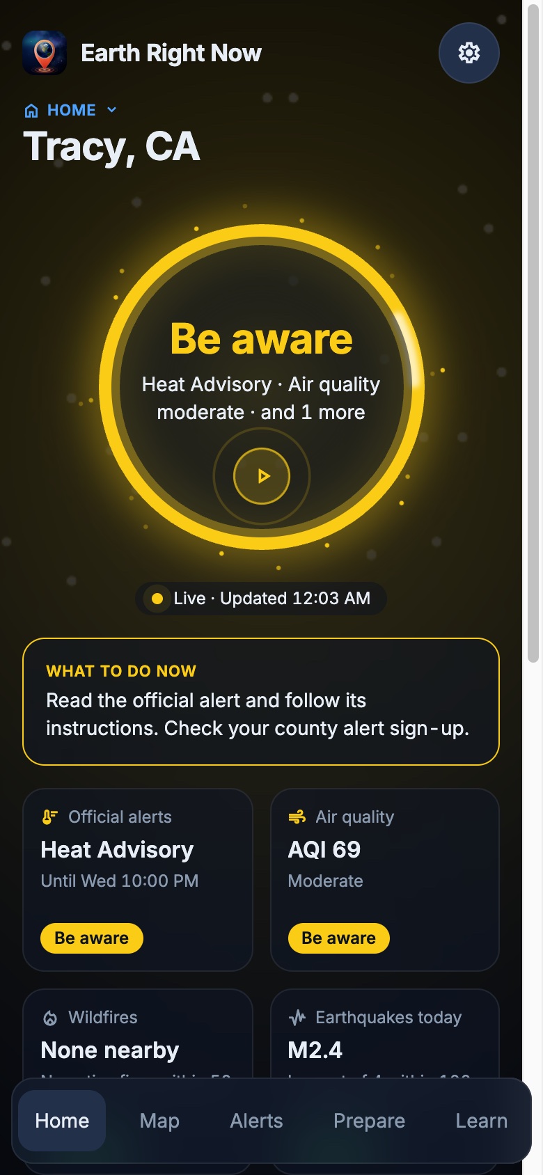
Your status, what to do, and every detail in tiles.
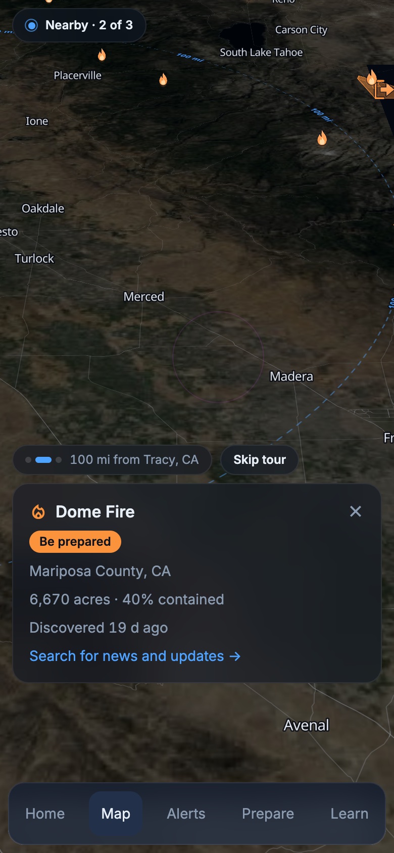
Fly in, sweep around your place, replay the last day.
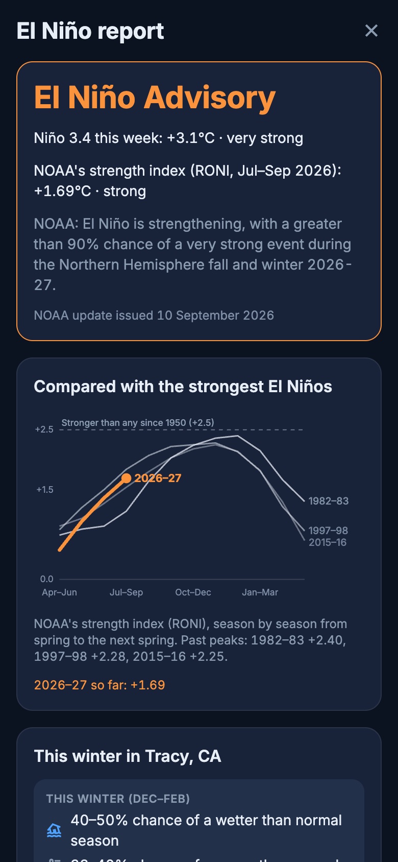
This year against the giants, and your winter outlook.
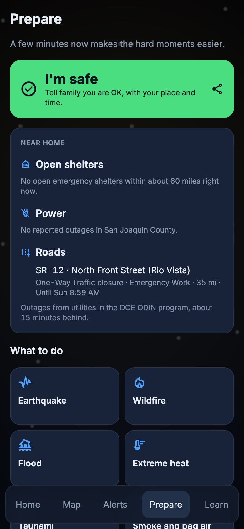
Before, during and after, for every hazard.
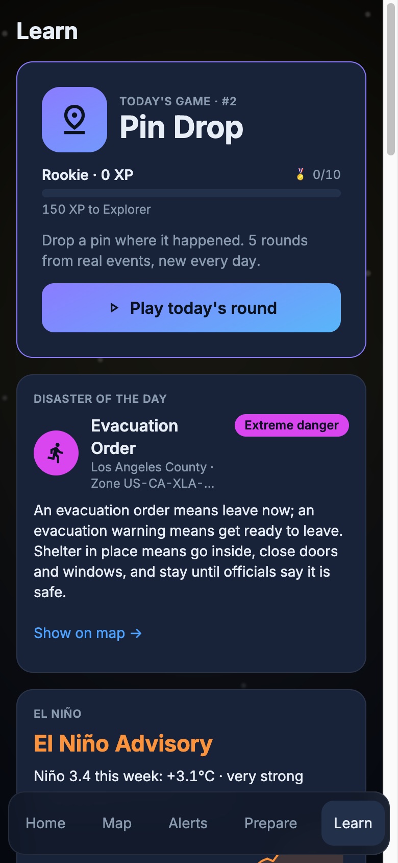
El Niño, drought, space weather, history and a daily game.
Example notifications
A server watches the official feeds every minute and tells you only about serious events near your home, within the distance you choose: 25, 50 or 100 miles.
What to do before, during and after each hazard, a kit checklist, a family plan, and one tap to tell everyone you're safe.
Emergency kit
0 of 5 ready
NOAA CPC relative Oceanic Niño Index (RONI), spring to spring · data through Jul–Sep 2026
How this year stacks up against the giants, NOAA's odds, and NOAA's winter outlook for your exact location, with links to get ready.
NOAA Climate Prediction Center, ENSO discussion issued 10 September 2026. Figures in the app update from NOAA automatically.
Five questions a day from real events on Earth, up to 5,000 points. The closer your pin, the higher your score, and you see how you rank against today's players. Keep your streak, earn XP, levels and badges, practice anytime.
Home-screen and lock-screen widgets, and a Live Activity that stays on screen while an act-now alert lasts.
English · Español
VoiceOver & TalkBack
Severity always has a word, never color alone.
Your settings
Animations rest when your phone asks them to.
Your home stays on your device. Only a rounded location is used to look up hazards, and only if you turn on notifications in the phone app does it keep it, rounded to about 10 km, to send alerts. Read the privacy policy.
Launching in the United States. Until then, the app works in your browser: your home, the map, alerts, Prepare and Pin Drop. Notifications and widgets come with the phone apps.